Commercial roofing in Johns Creek, GA
Repairs, replacement and maintenance
Drone Roof Inspection in Johns Creek, GA
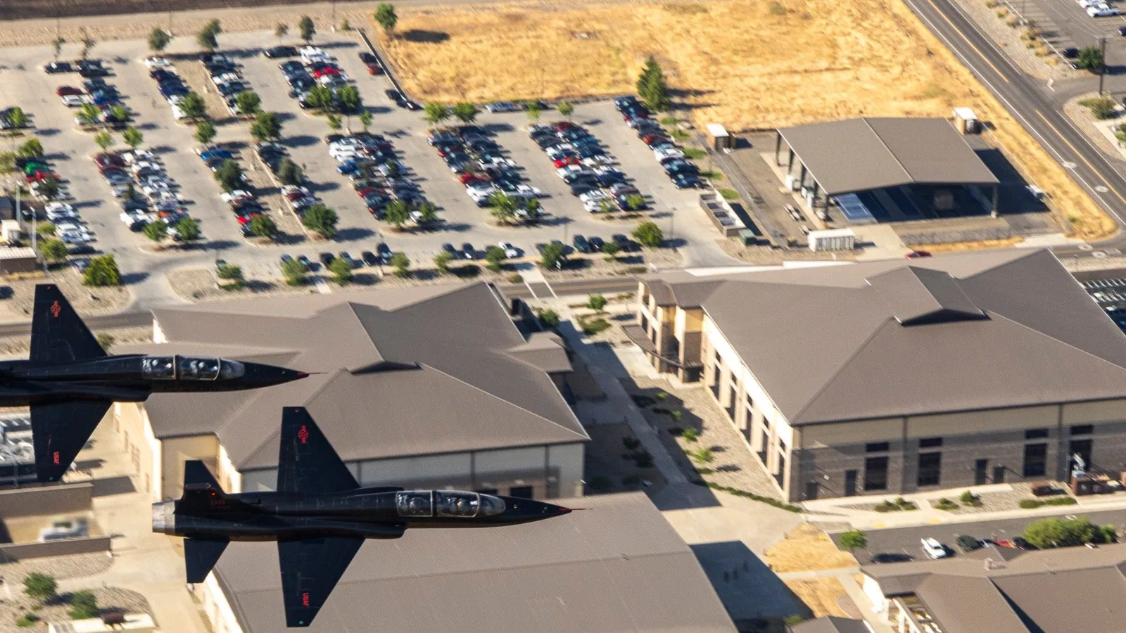
Use drone imagery to survey commercial roofs in Johns Creek, document visible damage and access limits, and target closer hands-on inspection where needed.
Which roof areas are hard to see from a ladder or hatch? A drone survey can capture overhead images of broad surfaces, roof levels, and inaccessible details while limiting foot traffic. The images show visible conditions from above; they do not test a seam, measure moisture inside insulation, or confirm what lies beneath a membrane. We use the imagery to mark areas for closer review and document what the camera could reach. For multi-building properties around Technology Park Johns Creek, a flight plan can make a first visual pass more systematic, then focus hands-on inspection where the evidence calls for it.
What can the camera capture?
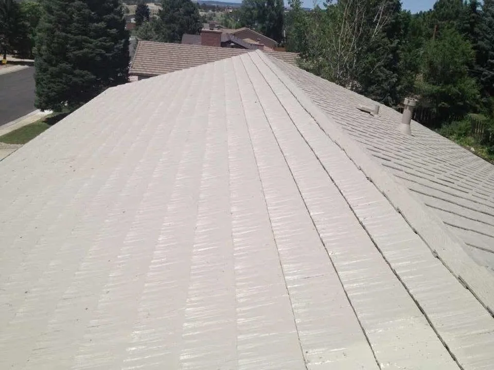
Commercial Roofing Services from Commercial Roofers Johns Creek.
A planned flight can photograph roof outlines, drainage patterns visible at the surface, rooftop equipment, debris, displaced components, and areas hidden from normal access points. Overlapping images help locate the view by roof zone and create a dated visual record. We coordinate the route around trees, adjacent structures, equipment, and site restrictions. A repeat view can help the owner track visible change between inspections. If a roof has multiple heights or connected buildings, the plan should list which roofs are in scope and which could not be safely or legally imaged.
Drone coverage is useful for triage after a storm or for a wide first look at a portfolio. North and central Georgia can experience damaging thunderstorm wind, hail, and tornadoes, but the weather pattern does not prove damage on a particular roof. Images can show displaced edge metal or a visible puncture; a closer examination is needed to determine attachment, cause, and repair limits. We can pair the image set with a hands-on commercial inspection when the next decision depends on contact or testing.
What can imagery not confirm?
A high-resolution photograph cannot show whether insulation is wet, a seam is bonded through its full width, a fastener is secure, or a membrane has separated from the substrate. Shadows, glare, standing water, and rooftop clutter can hide details. We identify these limits instead of describing an image as a diagnosis. If a visible area suggests trapped moisture, an infrared survey or test cut may be the next step. Each method has its own conditions and sample area.
Drone images also need context. We connect a visible mark to a roof plan, approximate roof zone, date, and view direction so the facility team can find it again. When the plan is missing or the roof sections are not labeled, we identify the image locations as approximate. The output should separate what can be seen from above from what remains unverified below the surface. That distinction helps the owner decide whether to dispatch a repair crew, book testing, or continue monitoring.
How does the service area affect flight planning?
Johns Creek’s commercial core includes the broad Technology Park campus near GA 141 and McGinnis Ferry Road. Nearby Alpharetta has named activity centers including North Point, Windward Parkway, Avalon, and downtown. Those are broader commercial areas with varied property types, not individual address targets. For buildings near the North Point activity center, surrounding development and site boundaries can affect safe launch points and image angles. We confirm property permission, airspace limits, and access before setting the flight path.
Atlanta climate normals show rain through the year, frequent hot days, and regular winter freezing nights. Weather and light conditions affect image clarity, battery planning, and safe operation. Wind, precipitation, and poor visibility can postpone collection; we do not trade a usable record for a flight under unsafe conditions. If a storm is reported, we compare the image date with the weather event and state which observed conditions are visible, without assigning an unverified cause.
What should the property team arrange?
Confirm the property contact, building list, roof plans, access points, sensitive operations, and areas that should remain out of frame. We agree on launch and landing zones and coordinate with site security or facilities staff. A healthcare campus, office complex, and industrial property may each have different visitor rules and areas of concern. The flight is planned around the actual site, not simply the postal address or the roof outline on a map.
We follow applicable flight restrictions and conduct the work only where safe and authorized. If aircraft operation is restricted near adjacent activity, we may need a different collection method or an on-foot inspection instead. We do not promise that a drone can see every roof surface. The scope identifies the roofs included, image deliverables, weather assumptions, and what a second visit would add. A clear flight plan avoids confusion about which structures were covered.
How should the images be used?
Deliver images labeled by building and roof zone, with a short note for any visible concern, makes follow-up easier. We preserve original views and identify where closer inspection is recommended. If a repair is needed, our repair scope should use a hands-on check to confirm material, failure mechanism, and boundary. A roof condition report can combine imagery with walk-through findings, photos, and next steps in one record. The image set should distinguish straight-down views of broad membrane areas from angled views of parapets, perimeter metal, and equipment curbs. We identify the building and roof zone in each view, then attach a concise note to any visible concern. A property manager can compare that marked image with a tenant report or earlier photograph and direct a closer inspection to a specific location. The flight record also states which portions were obscured or excluded, so a blank area in the imagery is not mistaken for an inspected, defect-free surface.
For properties in the Alpharetta market, the city service area includes several established commercial centers. A drone survey may make a large roof portfolio easier to review, but each flight is still tied to an individual building, approved access, and usable weather. Send a roof plan, building list, site restrictions, and decision timeline. We will outline what can be captured from above and where a hands-on inspection or moisture test is still needed.
Commercial Roofing Questions
Can a drone confirm that a roof is leaking?
No. Images can show a visible opening, displaced component, or ponding pattern, but they do not prove the water-entry path or hidden condition. We pair imagery with a hands-on inspection or targeted testing when the repair decision requires more evidence.
Can you image a roof without walking on it?
A drone may capture broad surfaces without routine foot traffic, subject to safe flight conditions and site rules. Some details remain blocked by equipment, parapets, trees, or adjacent structures. We list gaps in coverage and recommend another inspection method where a view is incomplete.
Will the images show wet insulation?
Visible imagery cannot determine whether insulation below the membrane is wet. A thermal survey under appropriate conditions or a test cut can investigate that question. The report names the method used and the zones it covered.
What happens if weather delays the flight?
Wind, rain, visibility, and light can affect safety and image quality. We reschedule collection when conditions prevent a usable survey and record any weather limitation in the scope. If a leak is active, a ground or roof response may be more urgent than waiting for imagery.
What do you need to plan a drone survey?
Send the building list, roof plan, property contact, site access rules, sensitive areas, and the decision the imagery needs to support. We confirm permission, suitable launch areas, and applicable flight constraints before scheduling the collection.
Back to Commercial Roofing Services, or request a roof assessment and call 555-555-5555.